Certascan peak from Canalada
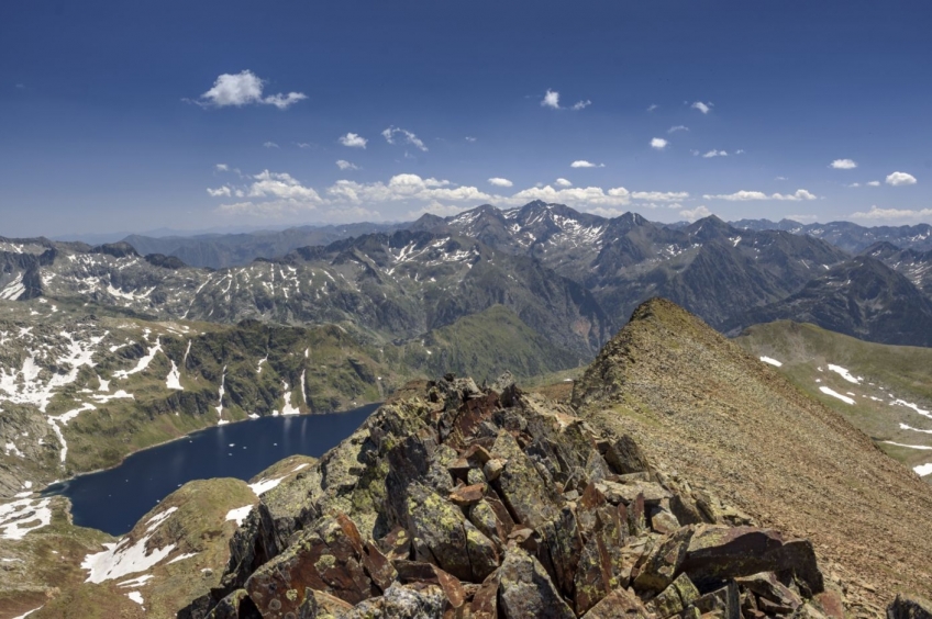
The Estanys de Lladorre area, with the Estany de Certascan in the foreground, is one of the emblematic places of the Vall de Cardós that cannot be missing from any hiking itinerary. We are in the heart of the Alt Pirineu Natural Park, surrounded by peaks that reach 3,000 meters and by some of the most impressive lakes in the mountain range. Today we propose to complete the Pico de Certascan to enjoy from the heights of all this high mountain lake environment.
- Medium difficulty. The only thing to take into account is the steep slope from the pass to the Pic de Certascan, with some passage through aerial rock. Expect the use of crampons to climb the pass until mid-July (NOTE: it can be avoided by following sections of rock). You can call the shelter beforehand to check the status.
- Slope: 896 meters of positive slope
- Time: Between 5h45' and 6h45', depending on stops. Partial: 45' to the refuge, 1h30' to the Certascan pass, 1h to the Certascan peak, 2h30' down to Canalada.
- Kilometers: 10.4km
Variants: The Certascan peak can also be done while crossing the Puerta del Cielo or the HRP (the High Pyrenean Route). Likewise, the Pico de Certascan can also be crowned leaving from Graus or Quanca and going up the Noarre valley (1300-1500m positive difference in altitude). If you don't want to depend on the 4x4, the alternative would be to go up from the Montalto Dam (+1750m). The most demanding option would be to make a great circular from Tavascan (+2000m, 30km)
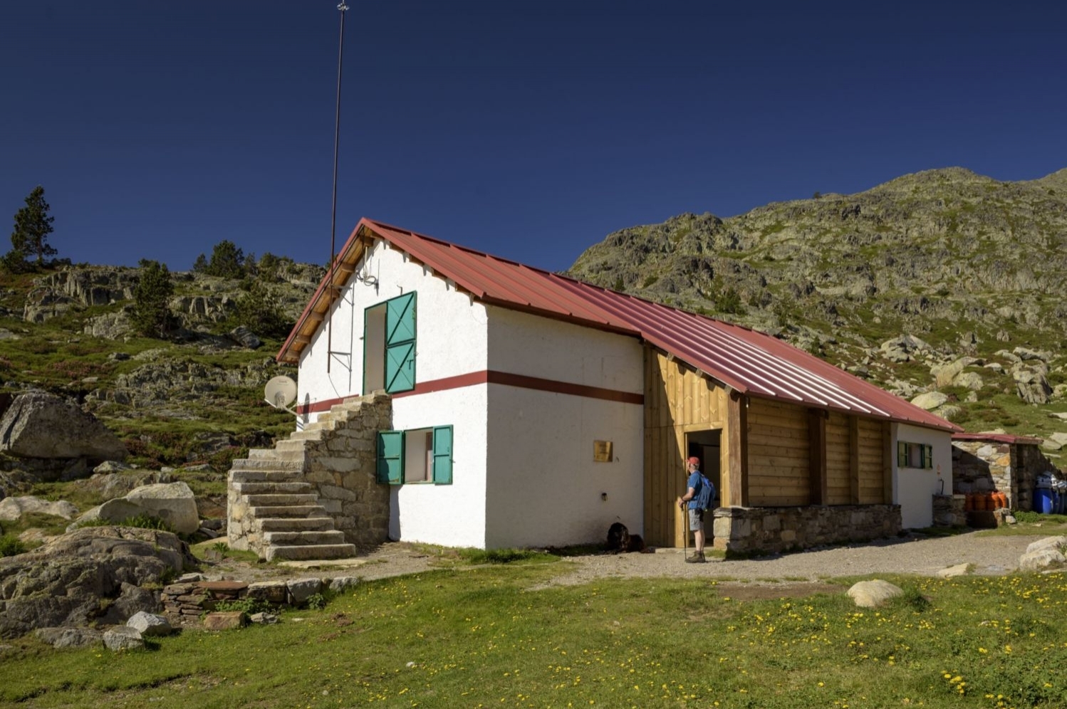
To get to the starting point (Canalada) you cannot go with your car. You will have to contact the 4x4 taxis that make the excursions to the lakes of Lladorre (Deportes Certascan) that will leave you at this point and will come to pick you up in the afternoon. If you want to access it on foot, you must go by car to the Montalto intake (recommended 4x4) and, from there, start the ascent through the Llurri sunny side, which will take you about 3 hours and about 800 meters of unevenness to the Certascan shelter.
Already located in Canalada, we start the route along the forest track that would continue towards the Estanys de Romedo and we will begin to climb a less traveled track until after a curve. Before reaching a dam, we will see that a path starts on the right hand side, indicated with a milestone and red markings. We follow it and cross a meadow to then take the path to the right, heading East.
The path goes up to go to look for the GR of the Alta Ruta Pirinieca, which passes a few meters higher. When you find it, we will continue in a Northwest direction along a well-trodden path with red and GR markings. Next, a little further up, the path will turn west following the cirque at the foot of some rocks. Shortly after, we will arrive at a first lake. We skirt it to the right and go up the last few meters to the Certascan refuge, located in an idyllic spot.
A few meters higher, we will glimpse the depth of Lake Certascan, which has traditionally been considered the largest natural lake in the Pyrenees, at least in the Catalan part, as well as one of the deepest, with 96 m depth at its deepest point. under. We will skirt it to the left and we will go to look for a small hill that will give us way to the valley that we will have to go up to the Coll de Certascan. It is possible that from this point you will find some congested snow until well into July. For this reason, we may have to modify the path a bit at some point or even foresee the use of crampons (until the beginning of July). This entire stretch of ascent to Coll de Certascan is marked with GR marks from the HRP (Alta Ruta Pirenaica) and also with green dots and various milestones.
We will go to the Riuet de la Sierra Plana and we will cross it to avoid a congestion that accumulates on the north slope (if it is not there, you can continue there). We follow a section parallel to the stream and shortly after we cross it again.
Next, we will follow the stream that will be on our right. Further up, you will see that the uphill track crosses it again to avoid a traffic jam (at the beginning of July). In reality, we will not need to cross it until a bit higher, at the foot of a waterfall that we will find. In case of doubt, you can follow the descent track that passes strictly along the marked path.
We will leave behind the stream and we will see a pond on our left with a reddish color as a result of the iron oxides that the stone of this valley contains. In fact, a good part of the mountains in this area have that characteristic reddish color that gives them iron oxide.
We now face the section of ascent to the Coll de Certascan through a wide channel that we will go up. At the top we will find a grassy plain with a fairly steep slope that will make us vary the route a bit and climb the rocks that are on our right. If there is no snow, we can continue along the path marked by the ravine.
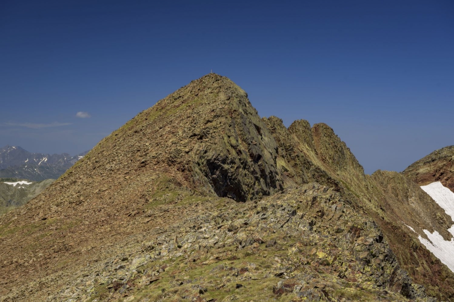
From Coll de Certascan, we broaden the horizon towards Ventolau and Mont-roig. At this point, we will turn to the right and face the hard ascent ramp to the Pic de Certascan. The slope will gradually increase until reaching a small plane prior to the summit. The road runs along a path that goes up without winding too much, so when going down you have to be careful not to slip.
From this small landing, we skirt the summit to the left, paying attention to the yellow markings. At this flanking point, there is a rock on which we must be careful to slip. After this section, we will reach the top from where we can already see our objective. We only need to overcome the last spur to finish the Pic de Certascan. Once at the top, we enjoy the wide panoramic view of the entire Alt Pirineu Natural Park and a good part of the Pallars, Ribagorça and Aran peaks: from Aneto to Andorra.

To go down, we will continue along the same path until we reach Canalada, where we will wait for the 4x4.
Photographs and text authorship: Sergi Boixader
You may also be interested in: Stroll through the natural parks
What to do
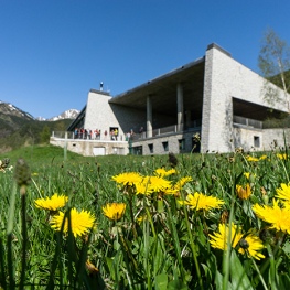
MónNatura Pirineus
Alt Àneu (a 13.8 Km)Stays and activities aimed at all types of public with a very…
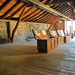
Espai museístic del Ferro Casa Sintet
Alins (Vall Ferrera) (a 9.8 Km)The museum offers a guided tour, made by the same family of…
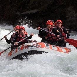
Rafting Llavorsí
Llavorsí (a 14.3 Km)Rafting, canyoning, horse riding, hydrospeed, river canoes, bus-bob, hiking, snowshoe excursions, skiing…
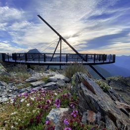
Mirador Solar de Tristaina
Ordino (a 18.6 Km)The Tristaina Solar Viewpoint, the star excursion to Ordino Arcalís!
Where to eat
Roch Hotel - Restaurant
Sort (a 22.5 Km)Small rural hotel with a family character, very cozy where its owners…
Where to sleep
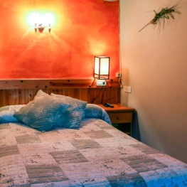
Hotel i hostal Vall d'Àneu
Esterri d'Àneu (a 10.5 Km)Two different buildings that you can enjoy 100%, whether you stay at…
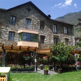
Hotel Lo Paller
Alt Àneu (a 11.7 Km)Mountain Hotel, located in the town of Valencia d'Àneu, halfway between the…
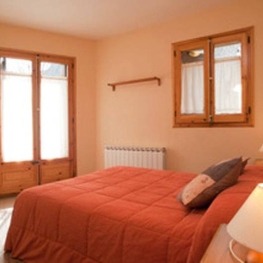
L'Hort del Metge
Vall de Cardós (a 2.1 Km)The Hort del Metge is located in the town of Lladrós, which…
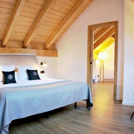
Hotel Riberies
Llavorsí (a 14.3 Km)Cozy and modern mountain hotel located in the town of Llavorsí, in…