Roca Corbatera (Montsant) from Sant Joan del Codolar (circular)
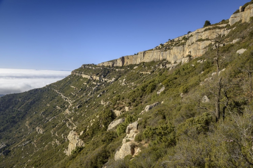
Its rugged appearance of limestone makes it have an imposing character despite its height of less than 1000 meters. Be that as it may, La Mola is one of the essential places in Camp de Tarragona to enjoy a great panoramic view of the south of the country.
- Difficulty: low. Only to highlight the steep slope of the Batllet channel (north slope of the mountain)
- Slope: 625 m of positive slope
- Time: between 2h30' and 3h30' depending on pace and stops.
- Kilometers: 8.8km
Variants: The most comfortable option to do this peak is by the GR-7.3. The same path could also be followed in reverse, with the channel going up more to the right and the channel going down smoother. Apart from the GR path, we could go through the Cueva de la Mola path (which goes up the eastern slope until reaching the Canal del Batllet), or from the south along the Canal del Móra.
From Tarragona, we will take the A-7, direction South until the exit nº1138 towards Mont-roig. We will continue along the T-323 until the south roundabout of Mont-roig del Camp and, from there, we will continue straight there in the direction of Falset and Colldejou. 9 km further, we reach Colldejou and park at the entrance of the town.
We leave from the hermitage of San Juan del Codolar, where a hermit still lives. We can go around the hermitage from behind or going up the side of the car park to the Grau dels Tres Esglaons turnoff.
If you choose to go around the hermitage from behind, you will come to a sign where we take the path to the left, which indicates Roca Corbatera and Grau dels Tres Esglaons. This sign indicates the difficulty of the route as medium, but on the park maps you will see that it rises to high difficulty. Certainly, it should be classified as high difficulty, especially because of some vertical steps more similar to a via ferrata than to a usual hiking excursion (and without a lifeline to be sure of), so if you don't like vertical steps, it's better make the ascent and descent along the Montsant path or Tomaset grade (on the path we came down), which do not present any particular difficulty. We do not recommend going up the Three Steps with children or pets, nor on rainy days.
Just behind the hermitage of San Juan del Codolar, we will take a path that begins to climb relentlessly in a North/Northeast direction towards the Montsant cliffs. The ascent is quite steep since in less than 1 kilometer we will gain about 300 meters of unevenness with an average slope of 43%. It's not worth being distracted!
At some points along the way we will come across large blocks of conglomerate stone that have come loose from the walls of Montsant and will force us to help each other to climb these steps. In fact, the entire path is full of boulders, in the style of Montserrat, and these conglomerate rocks are good to climb, since they have good prey to catch.
The most complicated points of the ascent are the Tres Escalons that give this path its name. The first of the three steps is found after approximately a quarter of an hour of climbing. It consists of six staples embedded in a stone channel that exceeds a wall about 7 meters high. It is not an excessively difficult step although the first claw is at a certain height. Keep in mind that there is no lifeline on any of the three steps, so a fall could be dangerous due to the height.
After this first step, in less than 10 minutes we reach the second section of staples that overcomes another staggered rock wall. In this case, we find 5 staples and here the added difficulty is that at some point we will have to support ourselves with our feet on the rock.
When we have passed this spur, we climb another 10 minutes to the third and last step of the route, the most difficult as it goes up a channel boxed in two sections and has quite separate cleats. Here the staples are T-shaped and we will have to tighten our arms, since there is no life cable either. The total gap to overcome is about 20 meters. Shorter people may have a harder time getting past this grade.
Once climbed, we will come out at a confluence of paths. We will have passed the crags of Sant Joan and we will find ourselves at the top of the Sierra Mayor del Montsant. We will avoid the path that flattens on both sides above the cliff and we will follow the path that we will find in front of us and that climbs, more gently, between bushes and some isolated tree. In about 10-15 minutes we reach the top of Roca Corbatera, through one of the many trails that reach the top.
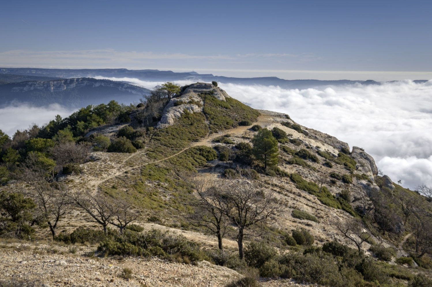
From here, we can enjoy an exceptional panoramic view. If you are lucky enough to enjoy a clear, cloudless day, you will be able to see the entire Pyrenees, from Monte Perdido to Puigmal over the sea of fog of Pla de Lleida. Closer, you can also see the Prades mountains, the Colldejou millstone or the Mussara.
To finish enjoying the views over the town of Albarca, we move east for a moment to the cliff in front of the Punta de la Sierra Major. From this point, we gain a more vertical view of the valley between Cornudella de Montsant and Albarca.
We undo the path to the foot of Roca Corbatera and now we will continue flattening through the Sierra Mayor, heading West/Southwest, along the most well-trodden path indicated with yellow markings. After about 15 minutes of gentle descent, we will ignore a path to the left that would lead us down towards Cova del Meloner and Grau del Tomaset. We could go that way if we want to shorten the way back.
We will continue along the path that leads through the Sierra Mayor. A few minutes later, we ignore another crossroads again and continue straight ahead, passing an iron sculpture of Christ on the Cross with geographical indicators of the area. 5 minutes later we reach the confluence with the GR-174.1. From this point, we can turn left and go down towards the Cueva Santa and the Grao del Tomaset or continue another section through the Sierra Mayor in which we continue for half an hour more climbing until we reach a hill with a solitary holm oak on the that we take views of the entire path made and of the whole of the Sierra Mayor on both sides. From this point, just above the Cingle del Fuster, we can also see the nucleus of the Morera de Montsant and the Roca del Xollat.
On the way back, we retrace our steps along the GR-174.1 but in order not to go through the same path, you can choose to follow a path that runs entirely along the ridge for about 10-15 minutes. We will go back down to the beaten path where we had gone on our way and now we will continue a few meters to our right (direction South-West) to find again the confluence of the GR, this time, taking the path to the left and going down towards the Cova holy. We will pass by a cave and arrive at a confluence of paths just before starting the Grao del Tomaset or Camino del Montsant (indicator post).
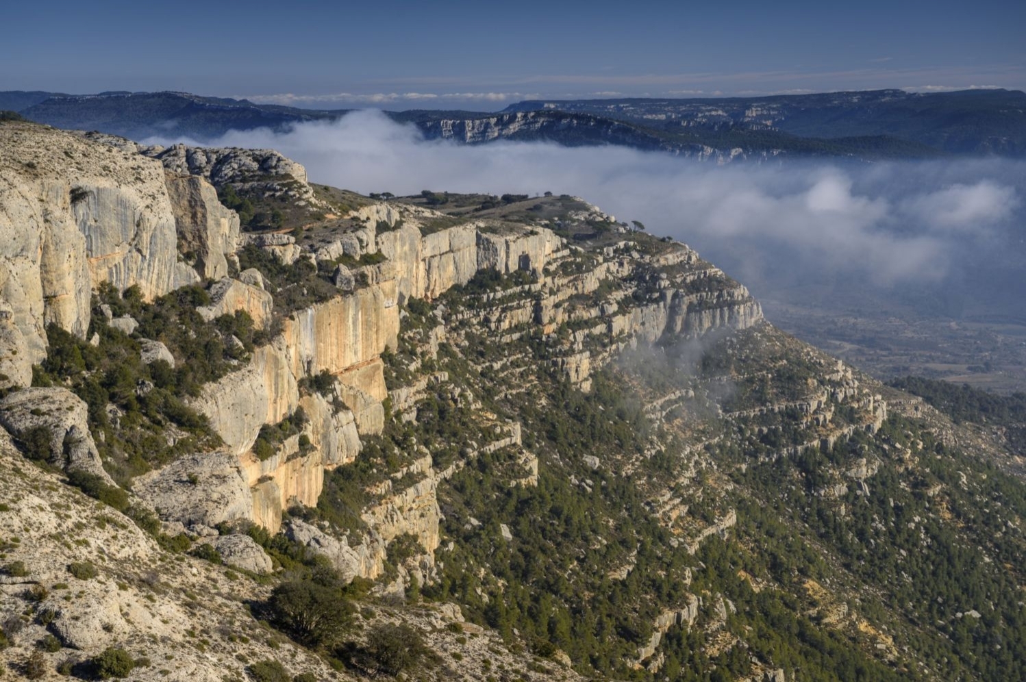
We will now continue along this path that descends from the Sierra Mayor del Monsant in the direction of Cornudella de Montsant. Unlike the way up, this path does not present any difficulty beyond the steep slope. We pass below the spectacular cliffs of Montsant and wind our way down through terrain that has been badly eroded by torrential rains.
After about 25 minutes of descent, just before entering the Aleppo pine forest, we will take a path to the left to return to Sant Joan del Codolar in about 10-15 minutes. Thus we will have completed this circular route through the spectacular cliffs of Montsant and Roca Corbatera.
Author images and text: Sergi Boixader
What to do
Muntanyes de la Costa Daurada
The municipalities of the Costa Daurada Mountains make up a territory of…
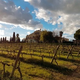
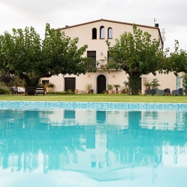
Hotel Celler Buil & Giné
Gratallops (a 15 Km)A unique experience, a different and unique accommodation, we offer the possibility…

Celler Clos Pachem
Gratallops (a 13.9 Km)Clos Pachem was founded in Gratallops in 2015 by Michel Grupper. A…
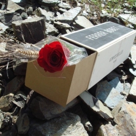
Celler Ferrer Bobet
Falset (a 8.2 Km)The Ferrer Bobet Winery has great respect for the long winemaking tradition…
Where to eat
L'Orangerie de Clos Barenys
Vila-seca (a 18.1 Km)Under our fires, we prepare haute Mediterranean cuisine by selecting the finest…

Arena Tapas Restaurant
Salou (a 20.8 Km)Enjoy an innovative cuisine, with high-quality local products of proximity, with an…
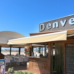
Restaurant Denver Cambrils
Cambrils (a 15.4 Km)From the legendary Xiri to the current restaurant, Denver offers a creative…
Where to sleep
Hotel Celler Buil & Giné
Gratallops (a 15 Km)A unique experience, a different and unique accommodation, we offer the possibility…
Hotel Fonda El Camí
Cambrils (a 14.1 Km)Located in the historic center of Cambrils, 40 rooms with all amenities.…
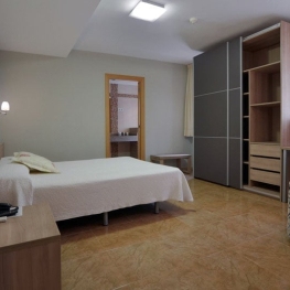
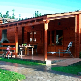
Casa Rural Mas Montbrió Belvedere
Cambrils (a 9.7 Km)Mas Montbrió Belvedere is the ideal place to enjoy nature and the…
Càmping Joan
Cambrils (a 12.8 Km)Camping Joan, located right on the beach, is the perfect place for…