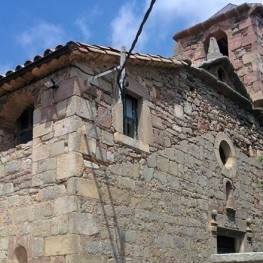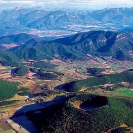
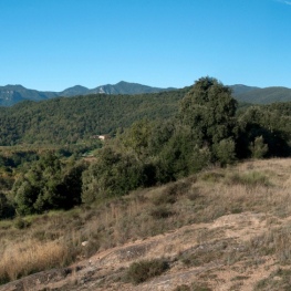
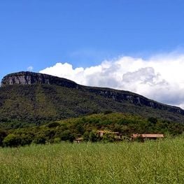
Volcanoes and other landscapes in La Garrotxa
Besalú, Castellfollit de la Roca, La Vall d'en Bas, Olot ... (a 4.2 Km)
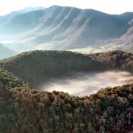
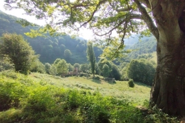
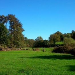
The volcanoes' kitchen
Besalú, La Vall d'en Bas, Olot, Sant Feliu de Pallerols ... (a 4.2 Km)
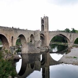
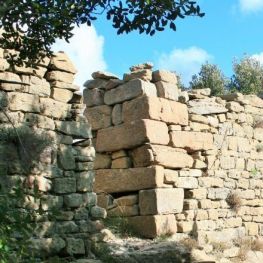
Route through the stone villages of Girona
Besalú, Girona, Madremanya, Santa Pau ... (a 4.2 Km)
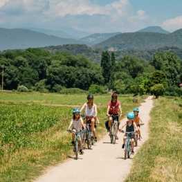
Route of Carrilet I of Olot in Girona
Amer, Anglès, Bescanó, La Cellera de Ter ... (a 5 Km)
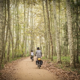
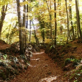
Route of the Carrilet from Olot to Girona
La Vall d'en Bas, Les Planes d'Hostoles, Les Preses, Olot ... (a 5 Km)

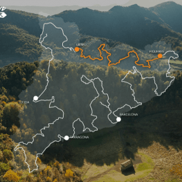
Grand Tour of Catalonia - Section 4. Ode in nature: from La…
Bagà, Banyoles, Bellver de Cerdanya, Besalú ... (a 5.6 Km)
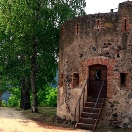
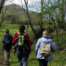
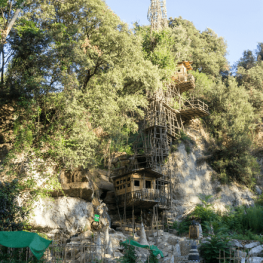
Francesc de Verntallat, the path of the Remensas
Besalú, Les Planes d'Hostoles, Olot, Sant Aniol de Finestres ... (a 5.6 Km)

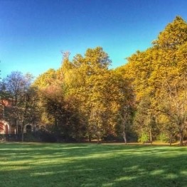
Route through the historic center of Sant Feliu de Pallerols
Sant Feliu de Pallerols (a 7 Km)
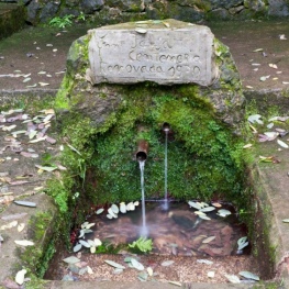
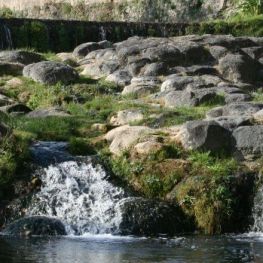
Route of the Fountains and Verlets in Sant Joan les Fonts (accessible)
Sant Joan les Fonts (a 8.4 Km)
Route of the Fountains and Verlets by the volcano of the Caña
Sant Joan les Fonts (a 8.4 Km)
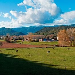
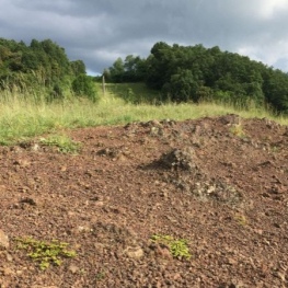
Walking around the Volcano of la Banya del Boc
Mieres, Sant Aniol de Finestres, Sant Gregori, Sant Martí de Llémena (a 9.9 Km)

Ruta Salamina Soldiers
Cornellà de Terri, Palol de Revardit, Sant Miquel de Campmajor (a 13.1 Km)
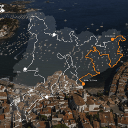
Grand Tour de Catalunya - Section 5. From Surrealism to Modernism.…
Arenys de Mar, Barcelona, Begur, Blanes ... (a 13.4 Km)
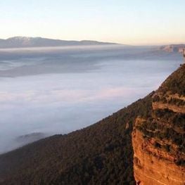
Entering the valley of Sau - Collsacabra
Agramunt, Folgueroles, Rupit i Pruit, Tavertet (a 13.4 Km)